Apfelberg
Apfelberg | |
|---|---|
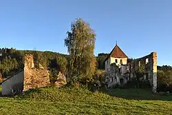 Apfelberg ruins | |
 Coat of arms | |
 Apfelberg Location within Austria | |
| Coordinates: 47°12′10″N 14°50′05″E / 47.20278°N 14.83472°E | |
| Country | Austria |
| State | Styria |
| District | Murtal |
| Area | |
• Total | 9.29 km2 (3.59 sq mi) |
| Elevation | 625 m (2,051 ft) |
| Population (1 January 2016)[1] | |
• Total | 1,145 |
| • Density | 120/km2 (320/sq mi) |
| Time zone | UTC+1 (CET) |
| • Summer (DST) | UTC+2 (CEST) |
| Postal code | 8720 |
| Area code | 03512 |
| Vehicle registration | KF |
| Website | www.apfelberg.at |
Apfelberg (meaning "Apple Mountain" in German) is a former municipality in the district of Murtal in the Austrian state of Styria. Since the 2015 Styria municipal structural reform, it is part of the municipality Knittelfeld.[2]
Geography
Apfelberg lies at the northern foot of the Gmeinberg (el. 818 m). It stretches from the southern edge of Knittelfeld to the foothills of the Gleinalp.
References