Sadwal Kalan
Sadwal Kalan سدوال کلاں | |
|---|---|
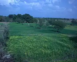 Countryside around Sadwal Kalan | |
| Coordinates: 32°50′30.69″N 74°06′29.81″E / 32.8418583°N 74.1082806°E | |
| Country | |
| Province | Punjab |
| Region/Division | Gujrat |
| District | Gujrat |
| Tehsil | Kharian |
| Government | |
| Time zone | UTC+5 (PST) |
| Postal Code | 50991 |
| Area code | 053 |
Sadwal Kalan is a village in the Gujrat District of Punjab, Pakistan. It is situated approximately 3 kilometres east of Kotla, 35 kilometres from Gujrat, and about 25 kilometres from Kharian Tehsil.[1] The village falls under the jurisdiction of Union Council Kakrali, which is just 4 kilometres to the north, with the border of Azad Kashmir lying roughly 10 kilometres further north. The majority of Sadwal Kalan's population are Jatt/Chaudharies, Muslim, contributing to its distinct cultural identity. A large portion of Sadwal Kalan's population lives abroad, contributing to the village's development and supporting their families through remittances.
Gallery
-
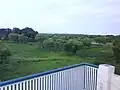
 Muhammad ibrar ch
 -
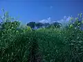
 Crops of Bajra
 -
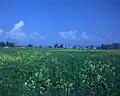
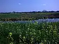
 Nice View of Flowers of Mustard(Sarsoon)
 -
 Flowers of Mustard in Kaalian
 -
 Sadwal Road New
 -
 A view of Mustard Flower Near Daali
 -
 Street Towards Pindi
 -
 Street Towards Pindi Awan