Chalvignac
Chalvignac | |
|---|---|
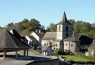 The church square in Chalvignac | |
Location of Chalvignac | |
 Chalvignac  Chalvignac | |
| Coordinates: 45°14′28″N 2°14′48″E / 45.2411°N 2.2467°E | |
| Country | France |
| Region | Auvergne-Rhône-Alpes |
| Department | Cantal |
| Arrondissement | Mauriac |
| Canton | Mauriac |
| Government | |
| • Mayor (2020–2026) | Serge Leymonie[1] |
Area 1 | 35.89 km2 (13.86 sq mi) |
| Population (2022)[2] | 457 |
| • Density | 13/km2 (33/sq mi) |
| Time zone | UTC+01:00 (CET) |
| • Summer (DST) | UTC+02:00 (CEST) |
| INSEE/Postal code | 15036 /15200 |
| Elevation | 259–692 m (850–2,270 ft) (avg. 375 m or 1,230 ft) |
| 1 French Land Register data, which excludes lakes, ponds, glaciers > 1 km2 (0.386 sq mi or 247 acres) and river estuaries. | |
Chalvignac (French pronunciation: [ʃalviɲak]; Occitan: Chalvinhac) is a commune in the Cantal department in south-central France.
Population
| Year | Pop. | ±% |
|---|---|---|
| 1962 | 682 | — |
| 1968 | 818 | +19.9% |
| 1975 | 610 | −25.4% |
| 1982 | 580 | −4.9% |
| 1990 | 525 | −9.5% |
| 1999 | 497 | −5.3% |
| 2008 | 426 | −14.3% |
See also
References
- ^ "Répertoire national des élus: les maires". data.gouv.fr, Plateforme ouverte des données publiques françaises (in French). 2 December 2020.
- ^ "Populations de référence 2022" (in French). The National Institute of Statistics and Economic Studies. 19 December 2024.
Wikimedia Commons has media related to Chalvignac.