Leyr
Leyr | |
|---|---|
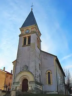 The church in Leyr | |
 Coat of arms | |
Location of Leyr | |
 Leyr  Leyr | |
| Coordinates: 48°48′14″N 6°15′57″E / 48.8039°N 6.2658°E | |
| Country | France |
| Region | Grand Est |
| Department | Meurthe-et-Moselle |
| Arrondissement | Nancy |
| Canton | Entre Seille et Meurthe |
| Intercommunality | Seille et Grand Couronné |
| Government | |
| • Mayor (2020–2026) | Jean-Marc Iemetti[1] |
Area 1 | 10.74 km2 (4.15 sq mi) |
| Population (2022)[2] | 910 |
| • Density | 85/km2 (220/sq mi) |
| Time zone | UTC+01:00 (CET) |
| • Summer (DST) | UTC+02:00 (CEST) |
| INSEE/Postal code | 54315 /54760 |
| Elevation | 199–415 m (653–1,362 ft) (avg. 230 m or 750 ft) |
| 1 French Land Register data, which excludes lakes, ponds, glaciers > 1 km2 (0.386 sq mi or 247 acres) and river estuaries. | |
Leyr (French pronunciation: [lɛʁ]) is a commune in the Meurthe-et-Moselle department in north-eastern France.
See also
References
- ^ "Répertoire national des élus: les maires". data.gouv.fr, Plateforme ouverte des données publiques françaises (in French). 2 December 2020.
- ^ "Populations de référence 2022" (in French). The National Institute of Statistics and Economic Studies. 19 December 2024.
Wikimedia Commons has media related to Leyr.