Mont Devès
| Mont Devès | |
|---|---|
 | |
| Highest point | |
| Elevation | 1,421 m (4,662 ft) |
| Coordinates | 44°56′25″N 3°45′54″E / 44.94028°N 3.76500°E |
| Geography | |
 Mont Devès France | |
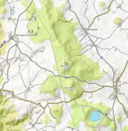
| Location | Haute-Loire departement, France |
| Parent range | Devès massif (Massif Central) |
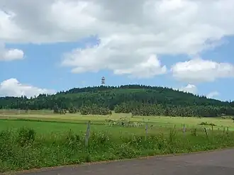
Mont Devès is a volcanic peak reaching an altitude of 1,421 meters in the French department of Haute-Loire. It is the highest point of the Devès massif in the Massif Central.
Geography
Mont Devès is located in the Devès massif, where it is the highest point, within the Massif Central. A relay antenna is situated at its summit.[1][2]
References
- ^ IGN maps available on Géoportail
- ^ "Haute-Loire. A Connangles et Saint-Jean-Lachalm : à quoi servent ces géants de béton ?". www.leprogres.fr (in French). Retrieved 2024-05-21.
Wikimedia Commons has media related to Mont Devès.