Cherek
| Cherek | |
|---|---|
 Cherek Narrows | |
  | |
| Location | |
| Country | Kabardino-Balkaria (Russia) |
| Physical characteristics | |
| Source | |
| • location | Greater Caucasus |
| Mouth | Baksan |
• coordinates | 43°42′01″N 44°03′02″E / 43.7004°N 44.0506°E |
| Length | 79 km (49 mi) |
| Basin size | 3,070 km2 (1,190 sq mi) |
| Basin features | |
| Progression | Baksan→ Malka→ Terek→ Caspian Sea |
The Cherek (Russian: Черек) is a river in Kabardino-Balkaria in Russia, a right tributary of the Baksan (Terek basin).[1] The Cherek is 79 kilometres (49 mi) long and drains a basin of 3,070 square kilometres (1,190 sq mi).[2] The Cherek is formed by the confluence of the Cherek-Balkarsky and Cherek-Khulamsky, both of which originate in the glaciers of the northern slopes of the Greater Caucasus, one of them being the Bezengi Glacier.[1] The river Nalchik flows into the Urvan, which is a branch of the Cherek.[3]
Gallery
-
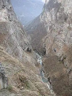
 Cherek. July 2009
 -
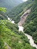
 Cherek. July 2009
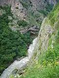
 - Cherek. July 2009
-
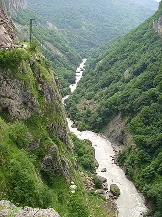 Cherek. July 2009
References
- ^ a b Черек, Great Soviet Encyclopedia
- ^ "Река Черек in the State Water Register of Russia". textual.ru (in Russian).
- ^ "Водоток Урвань, проток р. Черек in the State Water Register of Russia". textual.ru (in Russian).