Lhospitalet
Lhospitalet | |
|---|---|
Part of Pern-Lhospitalet | |
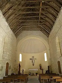
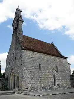 The church in Lhospitalet | |
Location of Lhospitalet | |
 Lhospitalet  Lhospitalet | |
| Coordinates: 44°21′43″N 1°24′32″E / 44.3619°N 1.4089°E | |
| Country | France |
| Region | Occitania |
| Department | Lot |
| Arrondissement | Cahors |
| Canton | Marches du Sud-Quercy |
| Commune | Pern-Lhospitalet |
Area 1 | 14.65 km2 (5.66 sq mi) |
| Population (2022)[1] | 499 |
| • Density | 34/km2 (88/sq mi) |
| Time zone | UTC+01:00 (CET) |
| • Summer (DST) | UTC+02:00 (CEST) |
| Postal code | 46170 |
| Elevation | 217–330 m (712–1,083 ft) |
| 1 French Land Register data, which excludes lakes, ponds, glaciers > 1 km2 (0.386 sq mi or 247 acres) and river estuaries. | |
Lhospitalet (French pronunciation: [lɔspitalɛ]; Occitan: L'Espitalet) is a former commune in the Lot department in south-western France. On 1 January 2025, it was merged into the new commune of Pern-Lhospitalet.[2]
Geography
The Barguelonne forms part of the commune's southern border.
See also
References
- ^ "Populations de référence 2022" [Reference populations 2022] (PDF) (in French). INSEE. December 2024.
- ^ Arrêté du 20 août 2024 portant création de la commune nouvelle de Pern-Lhospitalet, Légifrance, retrieved 15 January 2025
Wikimedia Commons has media related to Lhospitalet.