Réminiac
Réminiac Ruvenieg | |
|---|---|
 | |
Location of Réminiac | |
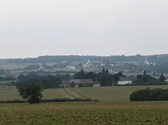
 Réminiac  Réminiac | |
| Coordinates: 47°51′43″N 2°14′04″W / 47.8619°N 2.2344°W | |
| Country | France |
| Region | Brittany |
| Department | Morbihan |
| Arrondissement | Vannes |
| Canton | Guer |
| Intercommunality | CC de l'Oust à Brocéliande |
| Government | |
| • Mayor (2020–2026) | Michel Martin[1] |
Area 1 | 12.15 km2 (4.69 sq mi) |
| Population (2022)[2] | 431 |
| • Density | 35/km2 (92/sq mi) |
| Time zone | UTC+01:00 (CET) |
| • Summer (DST) | UTC+02:00 (CEST) |
| INSEE/Postal code | 56191 /56140 |
| Elevation | 45–124 m (148–407 ft) |
| 1 French Land Register data, which excludes lakes, ponds, glaciers > 1 km2 (0.386 sq mi or 247 acres) and river estuaries. | |
Réminiac (French pronunciation: [ʁeminjak]; Breton: Ruvenieg) is a commune in the Morbihan department of Brittany in north-western France.[3] Inhabitants of Réminiac are called in French Réminiacois.
See also
References
- ^ "Maires du Morbihan" (PDF). Préfecture du Morbihan. 7 July 2020.
- ^ "Populations de référence 2022" (in French). The National Institute of Statistics and Economic Studies. 19 December 2024.
- ^ INSEE commune file
External links
Wikimedia Commons has media related to Réminiac.
- Base Mérimée: Search for heritage in the commune, Ministère français de la Culture. (in French)
- Mayors of Morbihan Association (in French)