Taniyama Tameike Dam
| Taniyama Tameike Dam | |
|---|---|
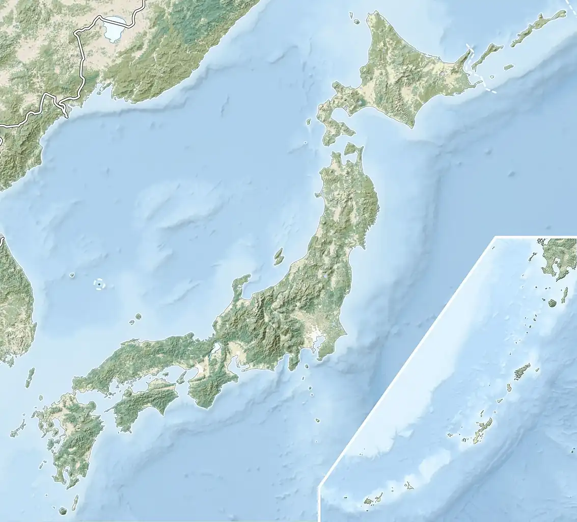 Location of Taniyama Tameike Dam in Japan | |
| Location | Gifu Prefecture, Japan |
| Coordinates | 35°26′12″N 137°7′59″E / 35.43667°N 137.13306°E |
| Construction began | 1950 |
| Opening date | 1953 |
| Dam and spillways | |
| Height | 18m |
| Length | 62m |
| Reservoir | |
| Total capacity | 268 thousand cubic meters |
| Catchment area | 2.2 sq. km |
| Surface area | 4 hectares |
Taniyama Tameike Dam is a gravity dam located in Gifu Prefecture in Japan. The dam is used for flood control and irrigation. The catchment area of the dam is 2.2 km2. The dam impounds about 4 ha of land when full and can store 268 thousand cubic meters of water. The construction of the dam was started on 1950 and completed in 1953.[1]
References
- ^ "Taniyama Flood ControlTameike - Dams in Japan". Retrieved 2022-02-22.