Léobard
Léobard | |
|---|---|
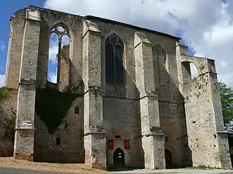 The abbey in Léobard | |
Location of Léobard | |
 Léobard  Léobard | |
| Coordinates: 44°43′23″N 1°18′39″E / 44.7231°N 1.3108°E | |
| Country | France |
| Region | Occitania |
| Department | Lot |
| Arrondissement | Gourdon |
| Canton | Gourdon |
| Intercommunality | Cazals-Salviac |
| Government | |
| • Mayor (2020–2026) | André Vayssières[1] |
Area 1 | 10.30 km2 (3.98 sq mi) |
| Population (2022)[2] | 224 |
| • Density | 22/km2 (56/sq mi) |
| Time zone | UTC+01:00 (CET) |
| • Summer (DST) | UTC+02:00 (CEST) |
| INSEE/Postal code | 46169 /46300 |
| Elevation | 130–263 m (427–863 ft) (avg. 253 m or 830 ft) |
| 1 French Land Register data, which excludes lakes, ponds, glaciers > 1 km2 (0.386 sq mi or 247 acres) and river estuaries. | |
Léobard (French pronunciation: [le.ɔbaʁ]; Occitan: Liaubard) is a commune in the Lot department in south-western France.
Geography
The river Céou flows westward through the southern part of the commune.
See also
References
- ^ "Répertoire national des élus: les maires" (in French). data.gouv.fr, Plateforme ouverte des données publiques françaises. 4 May 2022.
- ^ "Populations de référence 2022" (in French). The National Institute of Statistics and Economic Studies. 19 December 2024.
Wikimedia Commons has media related to Léobard.