Ceyras
Ceyras | |
|---|---|
 N-Dame Hortus | |
.svg.png) Coat of arms | |
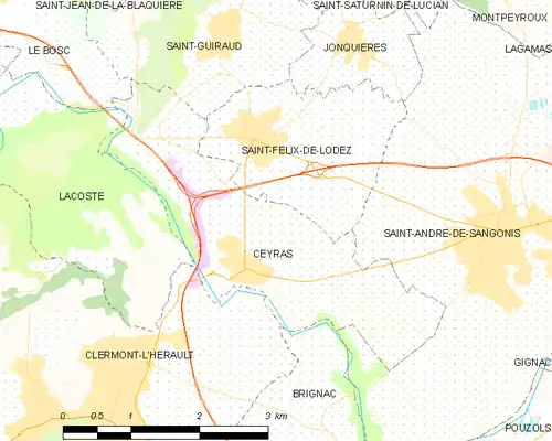
Location of Ceyras | |
 Ceyras  Ceyras | |
| Coordinates: 43°38′43″N 3°27′33″E / 43.6453°N 3.4592°E | |
| Country | France |
| Region | Occitania |
| Department | Hérault |
| Arrondissement | Lodève |
| Canton | Clermont-l'Hérault |
| Intercommunality | Clermontais |
| Government | |
| • Mayor (2020–2026) | Jean-Claude Lacroix[1] |
Area 1 | 6.96 km2 (2.69 sq mi) |
| Population (2022)[2] | 1,389 |
| • Density | 200/km2 (520/sq mi) |
| Time zone | UTC+01:00 (CET) |
| • Summer (DST) | UTC+02:00 (CEST) |
| INSEE/Postal code | 34076 /34800 |
| Elevation | 39–152 m (128–499 ft) (avg. 65 m or 213 ft) |
| 1 French Land Register data, which excludes lakes, ponds, glaciers > 1 km2 (0.386 sq mi or 247 acres) and river estuaries. | |
Ceyras (Ceiràs in Occitan) is a commune in the Hérault department in southern France.
Population
| Year | Pop. | ±% |
|---|---|---|
| 1962 | 503 | — |
| 1968 | 503 | +0.0% |
| 1975 | 513 | +2.0% |
| 1982 | 602 | +17.3% |
| 1990 | 681 | +13.1% |
| 1999 | 725 | +6.5% |
| 2008 | 1,008 | +39.0% |
See also
References
- ^ "Répertoire national des élus: les maires". data.gouv.fr, Plateforme ouverte des données publiques françaises (in French). 2 December 2020.
- ^ "Populations de référence 2022" (in French). The National Institute of Statistics and Economic Studies. 19 December 2024.
Wikimedia Commons has media related to Ceyras.