Lahitte
Lahitte | |
|---|---|
 Lahitte | |
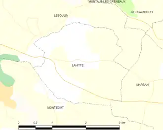
Location of Lahitte | |
 Lahitte  Lahitte | |
| Coordinates: 43°39′40″N 0°40′52″E / 43.6611°N 0.6811°E | |
| Country | France |
| Region | Occitania |
| Department | Gers |
| Arrondissement | Auch |
| Canton | Auch-2 |
| Intercommunality | CA Grand Auch Cœur Gascogne |
| Government | |
| • Mayor (2020–2026) | Christian Dareoux[1] |
Area 1 | 5.03 km2 (1.94 sq mi) |
| Population (2022)[2] | 233 |
| • Density | 46/km2 (120/sq mi) |
| Time zone | UTC+01:00 (CET) |
| • Summer (DST) | UTC+02:00 (CEST) |
| INSEE/Postal code | 32183 /32810 |
| Elevation | 148–240 m (486–787 ft) (avg. 170 m or 560 ft) |
| 1 French Land Register data, which excludes lakes, ponds, glaciers > 1 km2 (0.386 sq mi or 247 acres) and river estuaries. | |
Lahitte (French pronunciation: [la.it]; Occitan: La Hita) is a commune in the Gers department in southwestern France.
Geography
Population
| Year | Pop. | ±% |
|---|---|---|
| 1962 | 119 | — |
| 1968 | 134 | +12.6% |
| 1975 | 143 | +6.7% |
| 1982 | 148 | +3.5% |
| 1990 | 182 | +23.0% |
| 1999 | 185 | +1.6% |
| 2008 | 251 | +35.7% |
See also
References
- ^ "Répertoire national des élus: les maires" (in French). data.gouv.fr, Plateforme ouverte des données publiques françaises. 13 September 2022.
- ^ "Populations de référence 2022" (in French). The National Institute of Statistics and Economic Studies. 19 December 2024.
Wikimedia Commons has media related to Lahitte (Gers).