Le Pout
Le Pout | |
|---|---|
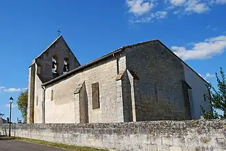 The church in Le Pout | |
.svg.png) Coat of arms | |
Location of Le Pout | |
 Le Pout  Le Pout | |
| Coordinates: 44°47′44″N 0°21′35″W / 44.7956°N 0.3597°W | |
| Country | France |
| Region | Nouvelle-Aquitaine |
| Department | Gironde |
| Arrondissement | Bordeaux |
| Canton | Créon |
| Intercommunality | Créonnais |
| Government | |
| • Mayor (2020–2026) | Jean-Luc Joyeux[1] |
Area 1 | 3.93 km2 (1.52 sq mi) |
| Population (2022)[2] | 617 |
| • Density | 160/km2 (410/sq mi) |
| Time zone | UTC+01:00 (CET) |
| • Summer (DST) | UTC+02:00 (CEST) |
| INSEE/Postal code | 33335 /33670 |
| Elevation | 35–106 m (115–348 ft) |
| 1 French Land Register data, which excludes lakes, ponds, glaciers > 1 km2 (0.386 sq mi or 247 acres) and river estuaries. | |
Le Pout (French pronunciation: [lə pu]; Occitan: Lo Pot) is a commune in the Gironde department in Nouvelle-Aquitaine in southwestern France.
Population
| Year | Pop. | ±% |
|---|---|---|
| 1962 | 107 | — |
| 1968 | 128 | +19.6% |
| 1975 | 133 | +3.9% |
| 1982 | 302 | +127.1% |
| 1990 | 371 | +22.8% |
| 1999 | 340 | −8.4% |
| 2008 | 366 | +7.6% |
See also
References
- ^ "Répertoire national des élus: les maires" (in French). data.gouv.fr, Plateforme ouverte des données publiques françaises. 13 September 2022.
- ^ "Populations de référence 2022" (in French). The National Institute of Statistics and Economic Studies. 19 December 2024.
Wikimedia Commons has media related to Le Pout.