Taze, Myanmar
Taze တန့်ဆည် Lan Son | |
|---|---|
Town | |
 Taze Location in Myanmar | |
| Coordinates: 22°56′40″N 95°22′25″E / 22.94444°N 95.37361°E | |
| Country | |
| Region | |
| District | Ye-U District |
| Township | Taze Township |
| Area | |
• Total | 1.09 sq mi (2.8 km2) |
| Population (2023)[1] | |
• Total | 2,931 |
| Time zone | UTC+6.30 (MMT) |
Taze (Burmese: တန့်ဆည်, Burmese pronunciation: [də.zɛ̀]) is a town in Ye-U District, Sagaing Region in Myanmar.[2][3][4] The town is the administrative center of Taze Township and is itself further subdivided into 4 urban wards.[1]
References
- ^ a b General Administration Department (March 2023). Tanse Myone Daethasaingyarachatlatmya တန့်ဆည်မြို့နယ် ဒေသဆိုင်ရာအချက်လက်များ [Taze Township Regional Information] (PDF) (Report). Retrieved 22 December 2024.
- ^ "Sagaing Region District Map". Archived 2 February 2017 at the Wayback Machine Myanmar Information Management Unit (MIMU)
- ^ Taze (Approved - N) at GEOnet Names Server, United States National Geospatial-Intelligence Agency
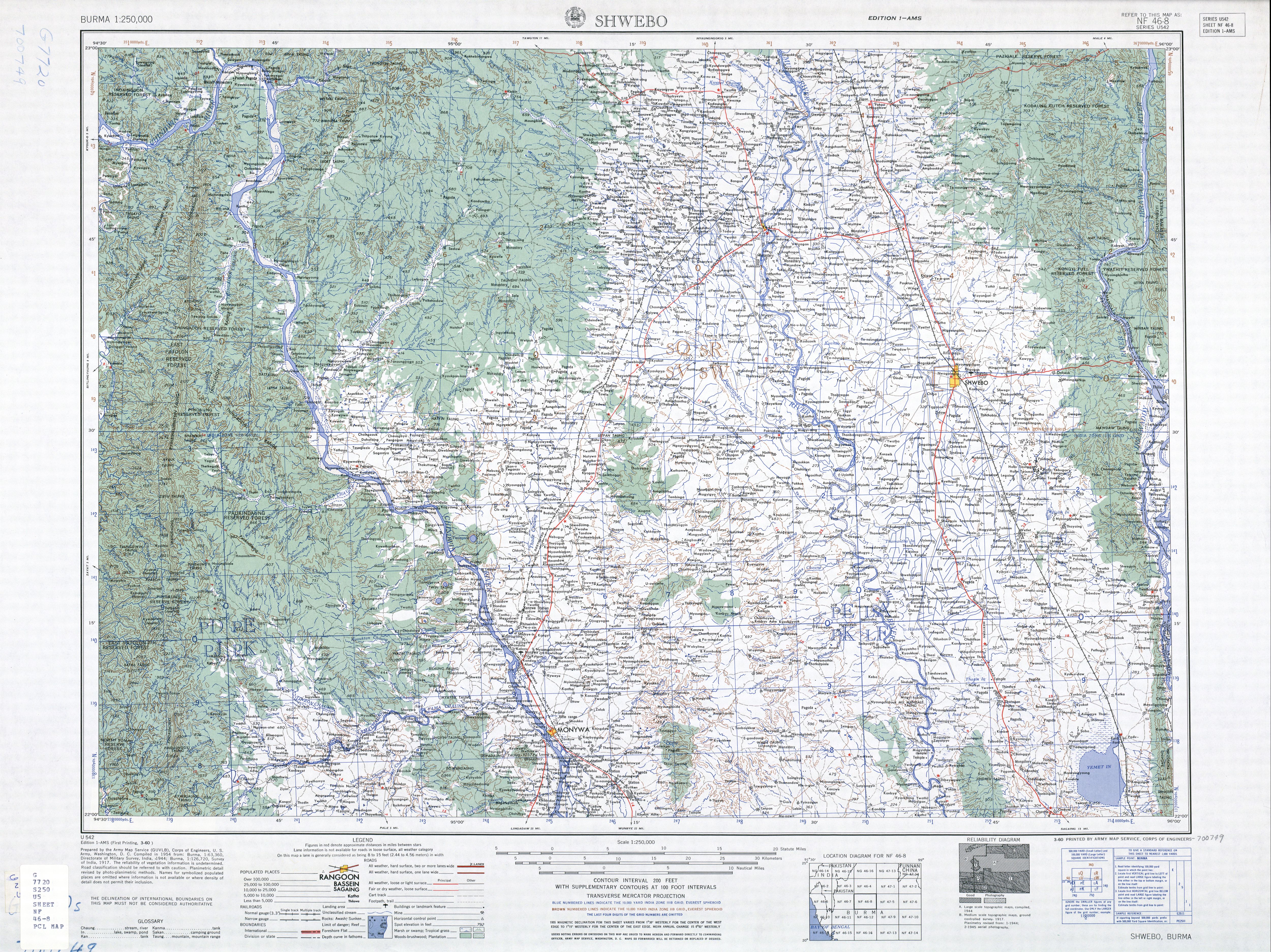
- ^ Shwebo, Burma Sheet NF 46-08 (Map). 1:250,000. Series U-542. United States Army Map Service. March 1960.
External links
- "Taze Map — Satellite Images of Taze" Maplandia
- "Taze City Picture Gallery". တန့္ဆည္(Taze City).
.svg.png)
