Saint-Bonnet-de-Joux
Saint-Bonnet-de-Joux | |
|---|---|
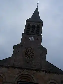 The church in Saint-Bonnet-de-Joux | |
Location of Saint-Bonnet-de-Joux | |
 Saint-Bonnet-de-Joux  Saint-Bonnet-de-Joux | |
| Coordinates: 46°29′00″N 4°26′25″E / 46.4833°N 4.4403°E | |
| Country | France |
| Region | Bourgogne-Franche-Comté |
| Department | Saône-et-Loire |
| Arrondissement | Charolles |
| Canton | Charolles |
Area 1 | 29.43 km2 (11.36 sq mi) |
| Population (2022)[1] | 797 |
| • Density | 27/km2 (70/sq mi) |
| Time zone | UTC+01:00 (CET) |
| • Summer (DST) | UTC+02:00 (CEST) |
| INSEE/Postal code | 71394 /71220 |
| Elevation | 330–465 m (1,083–1,526 ft) (avg. 394 m or 1,293 ft) |
| 1 French Land Register data, which excludes lakes, ponds, glaciers > 1 km2 (0.386 sq mi or 247 acres) and river estuaries. | |
Saint-Bonnet-de-Joux (French pronunciation: [sɛ̃ bɔnɛ də ʒu]) is a commune in the Saône-et-Loire department in the region of Bourgogne-Franche-Comté in central eastern France. In the Charolais natural region of Burgundy.
See also
References
- ^ "Populations de référence 2022" (in French). The National Institute of Statistics and Economic Studies. 19 December 2024.
Wikimedia Commons has media related to Saint-Bonnet-de-Joux.