Volesvres
Volesvres | |
|---|---|
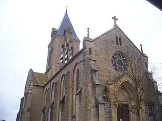 The church in Volesvres | |
Location of Volesvres | |
 Volesvres  Volesvres | |
| Coordinates: 46°28′21″N 4°09′37″E / 46.4725°N 4.1603°E | |
| Country | France |
| Region | Bourgogne-Franche-Comté |
| Department | Saône-et-Loire |
| Arrondissement | Charolles |
| Canton | Paray-le-Monial |
| Intercommunality | Le Grand Charolais |
| Government | |
| • Mayor (2020–2026) | Richard Perrier[1] |
Area 1 | 21.53 km2 (8.31 sq mi) |
| Population (2022)[2] | 661 |
| • Density | 31/km2 (80/sq mi) |
| Time zone | UTC+01:00 (CET) |
| • Summer (DST) | UTC+02:00 (CEST) |
| INSEE/Postal code | 71590 /71600 |
| Elevation | 239–307 m (784–1,007 ft) (avg. 245 m or 804 ft) |
| 1 French Land Register data, which excludes lakes, ponds, glaciers > 1 km2 (0.386 sq mi or 247 acres) and river estuaries. | |
Volesvres (French pronunciation: [vɔlɛvʁ]) is a commune in the Saône-et-Loire department in the region of Bourgogne-Franche-Comté in eastern France.
Geography
The Bourbince forms most of the commune's north-eastern border, then flows south-southwestward through the middle of the commune.
See also
References
- ^ "Répertoire national des élus: les maires". data.gouv.fr, Plateforme ouverte des données publiques françaises (in French). 2 December 2020.
- ^ "Populations de référence 2022" (in French). The National Institute of Statistics and Economic Studies. 19 December 2024.
Wikimedia Commons has media related to Volesvres.