Le Bourdeix
Le Bourdeix | |
|---|---|
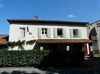 The town hall in Le Bourdeix | |
Location of Le Bourdeix | |
 Le Bourdeix  Le Bourdeix | |
| Coordinates: 45°35′21″N 0°37′58″E / 45.5892°N 0.6328°E | |
| Country | France |
| Region | Nouvelle-Aquitaine |
| Department | Dordogne |
| Arrondissement | Nontron |
| Canton | Périgord Vert Nontronnais |
| Intercommunality | Périgord nontronnais |
| Government | |
| • Mayor (2020–2026) | Maurice Chabrol[1] |
Area 1 | 11.69 km2 (4.51 sq mi) |
| Population (2022)[2] | 240 |
| • Density | 21/km2 (53/sq mi) |
| Time zone | UTC+01:00 (CET) |
| • Summer (DST) | UTC+02:00 (CEST) |
| INSEE/Postal code | 24056 /24300 |
| Elevation | 141–275 m (463–902 ft) |
| 1 French Land Register data, which excludes lakes, ponds, glaciers > 1 km2 (0.386 sq mi or 247 acres) and river estuaries. | |
Le Bourdeix is a commune in the Dordogne department in southwestern France.
Population
| Year | Pop. | ±% |
|---|---|---|
| 1962 | 212 | — |
| 1968 | 254 | +19.8% |
| 1975 | 207 | −18.5% |
| 1982 | 212 | +2.4% |
| 1990 | 230 | +8.5% |
| 1999 | 229 | −0.4% |
| 2008 | 260 | +13.5% |
See also
References
- ^ "Répertoire national des élus: les maires" (in French). data.gouv.fr, Plateforme ouverte des données publiques françaises. 4 May 2022.
- ^ "Populations de référence 2022" (in French). The National Institute of Statistics and Economic Studies. 19 December 2024.
External links
Wikimedia Commons has media related to Le Bourdeix.